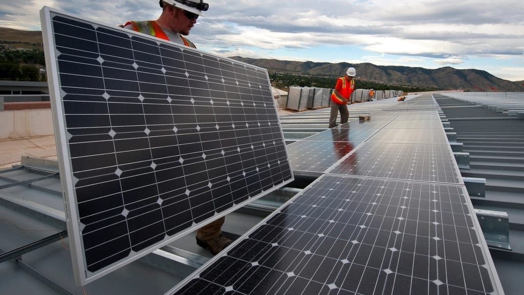
| Array footprint and module count | Aerial imagery panel signatures, row spacing and module geometry | Gives a module count and, with an assumed wattage for the install era, a DC size band good enough to sort a 90 kW roof from a 900 kW one. The interconnection agreement has the real nameplate. |
|---|
| Residential arrays and street density | Imagery panel signatures on pitched roofs, residential PV permits, assessor year-built and owner-occupancy fields | Residential systems detect the same way but sit on pitched, dormered and shaded planes, so misses run higher and confidence is marked per property. Their value is density: a street installed in one era routes as a single visit. |
|---|
| Mounting system | Imagery shadow geometry, visible ballast blocks, rail and tilt patterns | Separates ballasted, mechanically attached, flush metal-roof, carport and ground-mount systems, which decides crew, equipment and access cost on a service call. Attachment detail and flashing condition are not visible. |
|---|
| Install vintage | PV-scoped permits, state incentive and interconnection registries, first imagery showing the array | Brackets the install year, which brackets the inverter population and the warranty position. Where no permit was indexed, imagery gives an upper bound only. |
|---|
| Inverter topology | Imagery of pad- or wall-mounted equipment, combiner placement, permit descriptions | Distinguishes a visible central or string installation from one with no equipment signature, which usually implies microinverters or optimisers. Manufacturer, model and firmware are not readable. |
|---|
| Visible array condition | Recent aerial imagery | Flags soiling, vegetation grown in since install, missing or displaced modules, debris and ponding at the array edge. It cannot see hot spots, diode failures, delamination, string outages or ground faults. |
|---|
| Storm exposure since install | NOAA severe weather reports and gridded hail swaths, filtered to dates after install | Shows whether the array has taken a 1.0 in or 1.75 in hail day, or a high-wind event, since it was built. It does not prove damage, an open claim, or a covered loss. |
|---|
| Who currently services it | Not observable | There is no public source for O&M contract status, incumbent provider or renewal date. We say so on every property rather than inferring it. |
|---|