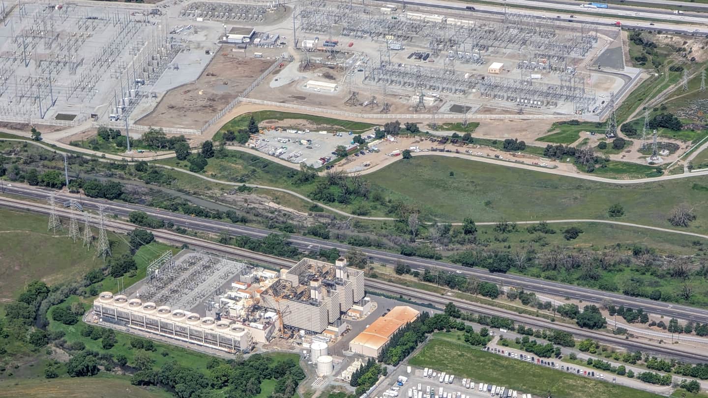
| Parking stall count and geometry | Aerial imagery striping, drive-aisle widths, parcel boundaries | Counts stalls, measures aisle widths and identifies where a charging bank fits without taking stalls the tenant needs. It does not say which stalls the host controls or a lease commits. |
|---|
| Trench run to the service entrance | Visible transformer pad, switchgear, meter bank and panel locations, measured against stall clusters | Estimates conduit and trenching distance in feet, usually the largest civil line item and the reason good sites die. It does not size conductors or reveal what is already under the pavement. |
|---|
| Three-phase at the frontage | Overhead line configuration in imagery, published utility distribution layers where available | Indicates whether three-phase service is plausibly on the street rather than a block away. It does not confirm hosting capacity, transformer loading, upgrade cost or queue position. |
|---|
| Battery siting envelope | Parcel setbacks, distance from pad to lot lines and building openings, visible fire-apparatus routes | Shows whether a compliant enclosure envelope with NFPA 855-style separation plausibly exists. The authority having jurisdiction makes the determination, and local amendments vary widely. |
|---|
| Dwell-time land use | Assessor use code, gross building area, business listings at the address | Separates ten-minute stops from two-hour and overnight dwell, which sets port counts and the Level 2 versus DC fast mix. It is a proxy for dwell, not a measurement of it. |
|---|
| Corridor traffic context | State DOT annual average daily traffic segments, interchange proximity, highway classification | Supports corridor fast-charging siting with published, dated traffic volumes on the adjacent segments. AADT is not charging demand, and it says nothing about EV share. |
|---|
| Fleet depot indicators | Imagery: bay doors, trailer and van parking rows, yard fencing, gate placement | Identifies properties operating as depots, where return-to-base economics work and one decision-maker exists. It does not identify the operator's electrification timeline. |
|---|
| Site control | Assessor owner of record, parcel boundaries, owner mailing address | Identifies who owns the dirt and whether the operating business is owner or tenant. Ground leases, easements and reciprocal access agreements surface only in title work. |
|---|
| Program and incentive geography | Published corridor designations, state and utility program service areas, mapped community geographies | Screens whether a site sits inside a geography where a named funding program is available. Eligibility geography is not an award, and rules change between funding rounds. |
|---|