
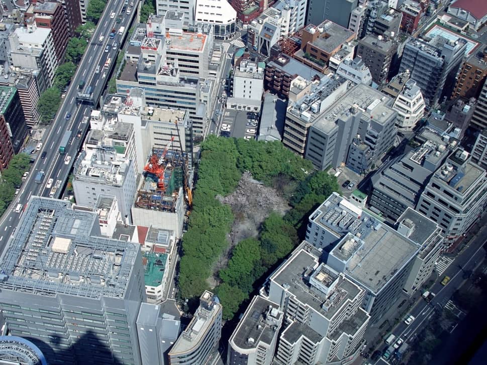
Aerial imagery can make property intelligence feel immediate. The roof, parking area, surrounding land use, and solar equipment are visible on the screen. Yet every image represents a particular moment, and that moment may be months or years behind the decision being made.
Different observations age at different speeds
A building footprint may remain useful for years, while vegetation, roof equipment, construction activity, tenant signage, vehicle access, and visible solar arrays can change quickly. Image age should be interpreted in relation to the feature being observed.
Record the date with the finding
- Name the imagery source.
- Capture the image or acquisition date when available.
- Distinguish current observations from historical comparison.
- Flag uncertain or low-resolution features.
- Note when the property appears to have changed between sources.
Use multiple dates carefully
Historical imagery can reveal additions, roof replacement, new equipment, vegetation growth, or the appearance of a solar installation. It can also create confusion when sources have different dates, angles, or resolutions. A report should state which image supports each conclusion.
Do not infer invisible conditions
Even recent imagery cannot verify structural integrity, electrical performance, hidden damage, roof membrane condition, or current ownership authority. Recency improves some visual observations, but it does not remove the limits of remote research.
Turn stale imagery into an action
A property with strong overall fit but outdated imagery may deserve a permit review, direct confirmation, newer paid imagery, a site visit, or removal from the immediate queue. The right response depends on the importance of the uncertain feature.
Imagery is most valuable when its timing is treated as part of the evidence. A dated observation can still be useful, provided the report does not present it as a current fact without qualification.